

Nizam’s Hyderabad The Third Dominion, 1947 Map
A 1947 map of the dominions of India and Pakistan with Nizam’s Hyderabad the third dominion. Hyderabad was founded in 1724 by Nizam-ul-Mulk Asaf Jah, the proxy of the Mughal dynasty. This prosperous princely state covered much of the Deccan Plateau. It boasted of its own army, railways, postal system, currency, passport, bank, and airlines.
It was also the first princely state in the Indian subcontinent to accept British protection in 1798. During India’s partition process, the princely states were given the choice to join India, Pakistan or remain independent. The Nizam, Osman Ali Khan, opposed merging with India. He declared Hyderabad as an independent country, apparently a third dominion after India and Pakistan.
In November 1947, the State of Hyderabad and the Dominion of India entered a “standstill agreement” for a period of one year. A reference from the map’s note “Since the map was drawn the State of Kashmir acceded to the Dominion of India but a final decision in this matter will be made by the people of Kashmir through a plebescite.” As a result of the threat to secede, operation polo was launched on September 13, 1948, by the Indian army. The Princely State of Hyderabad was consequently integrated into the Indian dominion. This was probably a news agency’s map.
Read more Hyderabad Liberation Day 2024: Know How Hyderabad Became a Part of India? Check Details.
Did you know – that Nizam’s Hyderabad state covered three linguistic areas, the modern-day region of Telangana, Maharashtra and Karnataka.
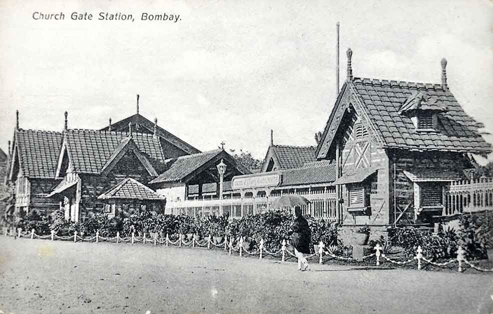
Past posts – Raja Ravi Varma’s “Saraswati” Oleograph From RRV Press 1910., Ooty In The 19th Century, 1880 Photo., Aerial View of Rashtrapati Bhavan & Parliament, 1948 Postcard., View of Bombay Showing The Fort, 1850 Print.
