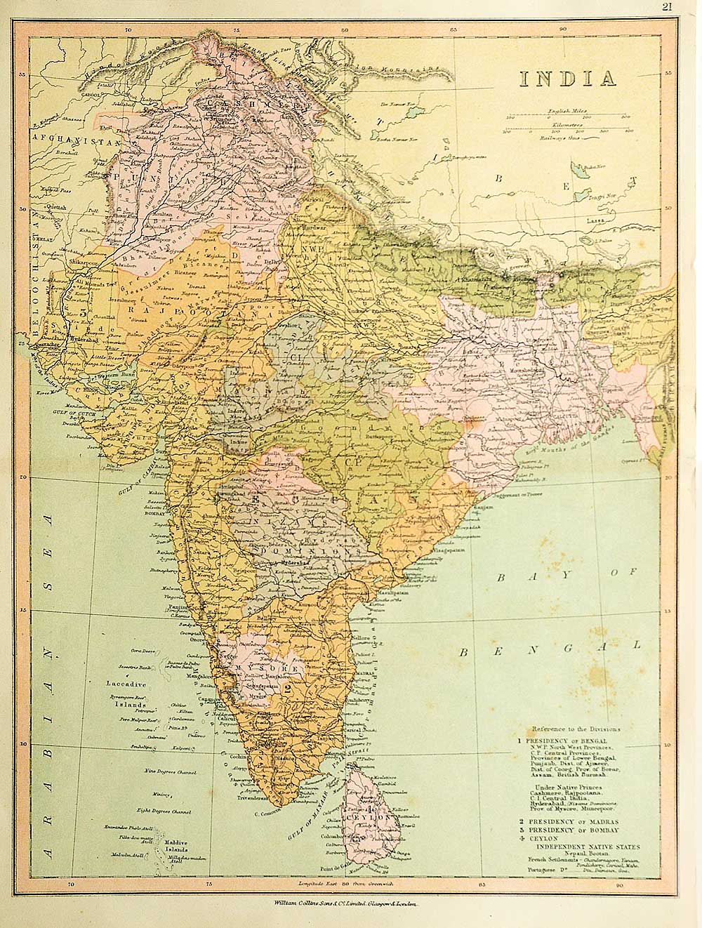
1878 Map Of British India: Princely States, Presidencies & Colonies
An interesting 1878 map of British India offers a glimpse of the Indian subcontinent during the late 19th century, when British-controlled territories existed alongside a vast diversity of princely states, Presidencies, and European Colonies. The hand-coloured map identifies the major political divisions through contrasting colours and detailed boundaries.
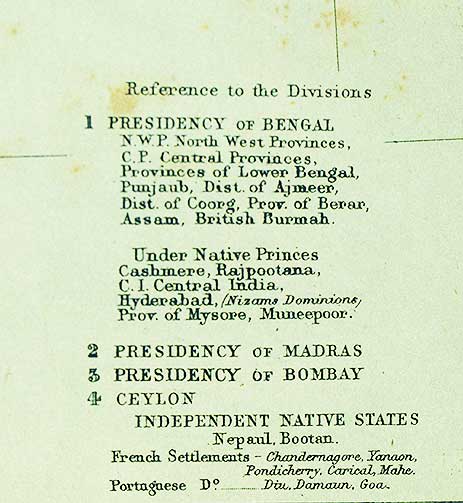
The map key identifies the Presidency of Bengal, the Presidency of Madras, the Presidency of Bombay, and Ceylon. At the same time, the map also depicts numerous territories governed by Indian rulers under varying degrees of British influence.
What makes this antique map of British India particularly interesting is the sheer complexity of the political geography it records. Places and administrative regions that would later change dramatically appear under their 19th-century names, providing a fascinating glimpse into India before the administrative reorganisations of the 20th century. From the Punjab and Rajputana to Bengal, the Deccan and southern India, the map charts an India of presidencies, princely states, colonies, mountain ranges, rivers and emerging lines of communication.
More than simply a geographical document, this Victorian-era map of India preserves the political landscape of a subcontinent approaching the end of the 19th century and is a valuable historical record of how India was represented during the British colonial period.
Did you know – Ceylon (Sri Lanka), appears separately from the Indian Presidencies on the map.