
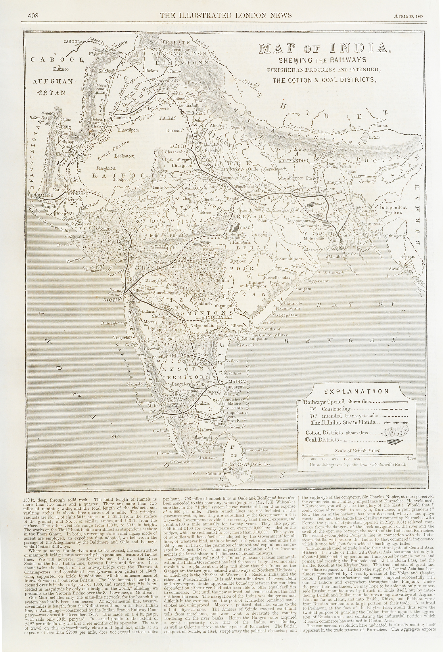
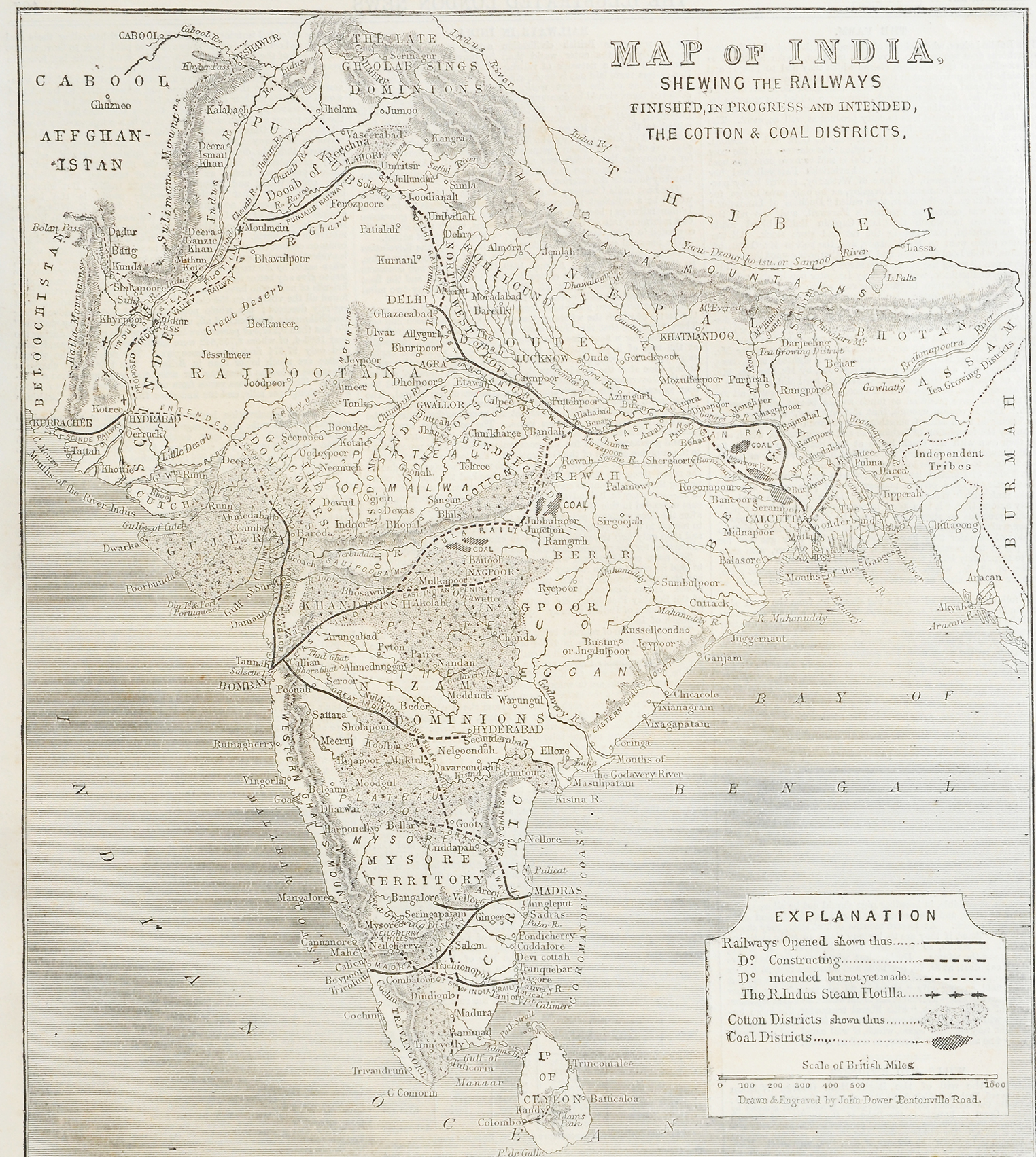

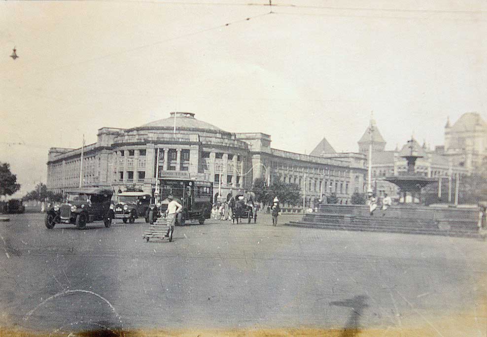
Showing Railway Map of British India In 1865
This is an old 1865 newspaper cutting showing the railway map of British India. The cutting is from “The Illustrated London News” of April 29, 1865. The first railway line was actually commenced in 1821 by the famous inventor of the steam locomotive, George Stephenson. The world’s first train ran between Stockton and Darlington in 1825.
It was not surprising that the British would not take long to introduce the railways to India. The Great Indian Peninsula Railway Company (GIPR) was registered in 1849. By 1853 India’s first railway ran from Bombay to Thana. This event made history.
See my earlier post First Train In India Bombay to Thane – Old Print 1853.
Thereafter the railways in British India would be embedded as a top transport system. It still is! Many companies were established such as the Bombay, Baroda, and Central India Railway (BB&CIR), East Indian Railway, Madras Railway, and so on. By 1865 the map shows a sizeable railway network. The darker lines show the established network. The dotted line indicates lines under construction or proposed to be constructed. Click on the photo for better view.
Did you know- that doubts were raised about whether people would be attracted from the bullock cart to the rail in colonial India.
From the collection- Drawing Hiding The Taj Mahal WW2., Iron Pier Harbour Chennai – Photo 1870., Carpentry In Malabar – Old Postcard 1910., Flood Scene In 19th Century Mumbai – Old Print 1868
The images are of the actual items from my collection. And Not a photocopy, pirated, reproduced, stock photos, or taken from other sources.
