

1930 Aerial View of Fort William and the River Hooghly, Calcutta
A rare 1930 aerial photograph showing Fort William and the River Hooghly in Calcutta (Kolkata). The massive fort, shaped like an irregular octagon, occupies around 71 hectares near the riverbank. Fort William is one of the most significant colonial-era landmarks of Kolkata. It reflects the city’s early British history and military heritage.
The origins of Fort William trace back to 1687, when Job Charnock, an agent of the East India Company, secured permission from the Mughals to establish a trading base at Sutanati (now part of North Kolkata). The original Fort William, named after King William III of Britain, was constructed between 1696 and 1701.
When Siraj-ud-Daulah became the Nawab of Bengal in 1756, tensions grew between the Nawab and the British, who had expanded their fortifications without his consent. Enraged by their defiance, the Nawab attacked and captured Calcutta after four days of fierce battle, destroying the original fort.
Soon after, Robert Clive, Governor of Bengal, commissioned the construction of a new Fort William in 1757. Completed in 1773, this fort was built slightly north of the original site, along the banks of the River Hooghly. The same majestic structure is visible in this 1930 photograph. During the Delhi Durbar of 1911, King George V announced the transfer of the British Indian capital from Calcutta to Delhi. Click photo to enlarge.
Did you know- that the fort is today the property of the Indian Army. The headquarters of the Eastern Command is based here.
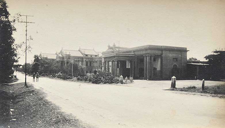
Past posts – “Birth of Shakuntala” First Oleograph From Ravi Varma Press 1894., Bangalore Club Where Churchill was a Member – Old Postcard., Taj Mahal Palace Hotel Bombay, Rare 1905 Advertisement., Bombay Fort, Colaba, Malabar Hill – Vintage Map 1924.
