
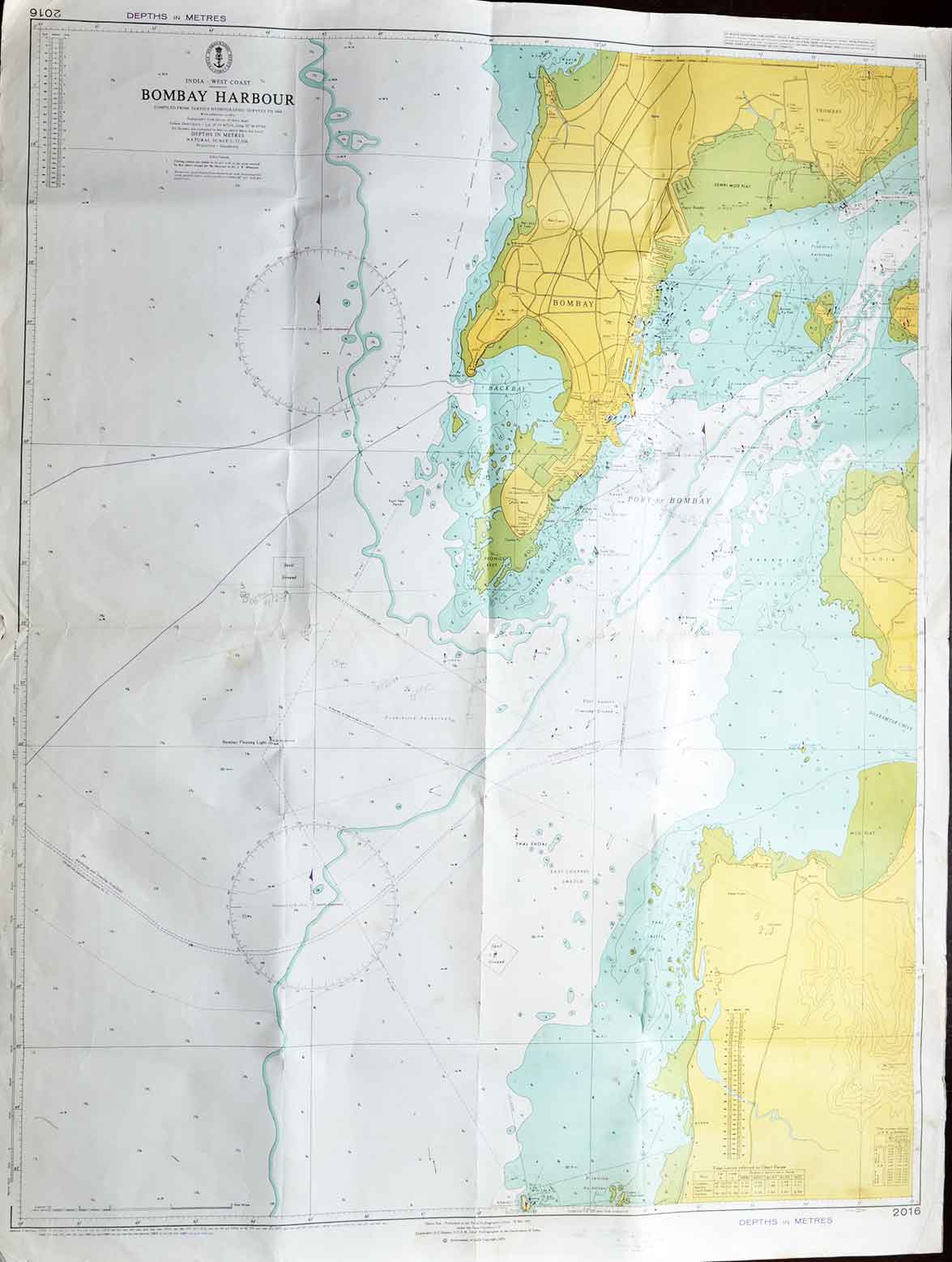
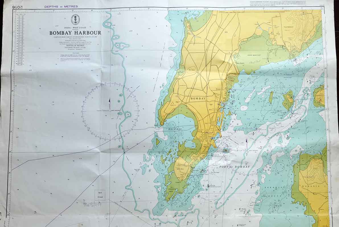
Admiralty Nautical Chart of Bombay Harbour, 1971 Edition
An original 1971 Admiralty Nautical Chart of Bombay Harbour. Depicting one of the world’s finest natural harbours at a time when Bombay (Mumbai) had firmly established itself as the country’s principal commercial port. Produced by the British Admiralty Hydrographic Office. The chart was designed to provide precise navigational information for merchant ships, naval vessels, passenger liners, fishing fleets, etc. Admiralty charts are among the most trusted nautical maps produced, meticulously compiled from hydrographic surveys and regularly updated to ensure safe navigation.
The chart presents a detailed view of Bombay Harbour and the adjoining mainland coastline. Depicting navigational channels, harbour approaches, anchorages, shoals, reefs, lighthouses, buoys, tidal information, and water depths measured in metres. Every element was carefully plotted to help mariners avoid underwater hazards while navigating one of Asia’s busiest ports.
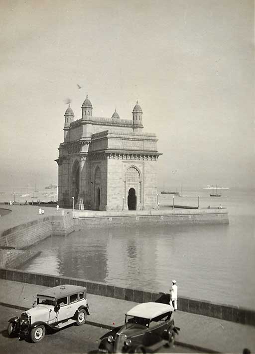
Bombay owes much of its rise to its magnificent natural harbour. Originally comprising seven separate islands, the region entered British history in 1661. The islands were transferred to King Charles II of England as part of the dowry of the Portuguese princess Catherine of Braganza. The king later leased Bombay to the British East India Company. Over the next two and a half centuries, an ambitious programme of land reclamation began.
Did you know – Admiralty charts have been published since 1795 and remain an international benchmark for marine navigation.
