

1880 Photo of the Suez Canal, Shortening The Maritime Route to India
A clear 1880 photograph of the Suez Canal, showing a marine dredger, a steamship, and smaller boats navigating its historic waters.
The opening of the Suez Canal in 1869 was a turning point in global trade and travel. It drastically shortened the maritime route to India from Europe. Before its construction, ships sailed around the Cape of Good Hope, a long and perilous voyage taking nearly six months. With the canal, travel time reduced to just three to four weeks, making the sea journey faster, safer, and more economical.
This engineering marvel became one of the British Empire’s greatest strategic assets, linking Europe with its colonies across the Middle East, India, Southeast Asia, and Australia. The Suez Canal’s opening also transformed Bombay (Mumbai) into one of the empire’s most prosperous trading ports, as exports, particularly cotton, soared and migration from Europe and the Middle East increased.
Before 1869, overland travel options existed either through Austria, Iraq, or Egypt, involving arduous desert treks and multiple sea crossings. The Suez Canal changed everything, ushering in a new era of steamship travel and global maritime trade.
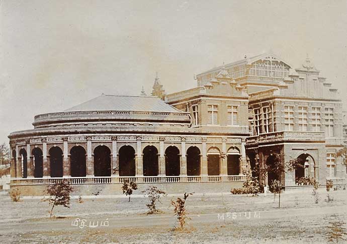
On arrival in India, British travelers found a vast and diverse land stretching from the Himalayas to the Deccan Plateau, dotted with thriving colonial centers such as Bombay, Madras (Chennai), and Calcutta (Kolkata). Calcutta remained the capital of British India until 1911, when Delhi took its place as the seat of imperial power. Click photo to enlarge.
Did you know- the Suez Canal was built by a French diplomat, Ferdinand De Lesseps.
From the collection- Drawing Hiding The Taj Mahal WW2., Prince of Berar Hyderabad Nizam’s Son, Old Photo PC., Indian & African Rhinoceros Antique 1790 Print By Berthault., The City Of Old Delhi Map 1877.
