
The Plan of Dutch Fort Cochin & Town, Antique Plan 1730

This is an antique handmade and hand-colored 1730 plan with a view of Dutch Kochin or Fort Cochin. The Dutch occupied Cochin after defeating the Portuguese in 1663. They then consequently demolished most Portuguese built structures even reducing the size of the large Fort to a smaller one.
Here it shows a more leaner landscape than what it was when they first occupied the land after driving out the Portuguese. The view looked a lot different when they first occupied Fort Cochin and town which can be seen here View Of Fort Cochin & Town, Antique Plan 1704. There are thirteen notations at the bottom of the Plan in Italian.
Around two or three drawings of European ships and local boats are visible. Subsequently, the British drove out the Dutch and took over Fort Cochin and town. The fort and town underwent drastic changes under every new colonists. The fort was demolished in the passing of years and not a trace of it is left today.
See my posts Fort Cochin – Antique Map Plan 1761, and Cochin or Kochi In 1729 – Antique Hand Colored Map. Read also- The Portuguese In India.
Did you know- Chinese Fishing Nets dot around the Cochin waters, these are some of the many legacies left behind by Chinese traders before the 14th century.
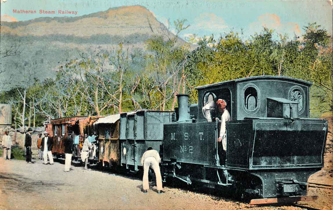
From the collection- Vintage Oleograph Raja Ravi Varma “Laxmi”., Drawing Hiding The Taj Mahal WW2., Print Developments In Bombay Railway Suburban Services., 1911 Delhi Durbar & Begum of Bhopal – Old Postcard