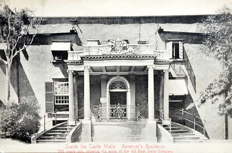
Cape Town’s Role in the European Spice Route to India, 1900 Postcard
A postcard from around 1900 depicts the former castle residence of a Dutch East India Company (VOC) governor in Cape Town, South Africa. While the image itself has no direct links to India, Cape Town occupied a crucial position in the wider history of India-bound maritime trade. For centuries, it functioned as a strategic stopover for European ships sailing to India and Southeast Asia along the spice route.
Situated near the southern tip of Africa, Cape Town became indispensable for long-distance voyages to the east. Ships travelling from Europe relied on the Cape for fresh water, provisions, and essential repairs.
The strategic location of the Cape made it a coveted target among European powers seeking control over the Indian Ocean trade. The settlement at Cape Town was established by the Dutch in 1652, approximately 64 kilometres north of the Cape of Good Hope.
The maritime corridor to the east was first established by the Portuguese when Vasco da Gama reached Calicut (Kozhikode) in 1498, opening a direct sea link between Europe and India. In the centuries that followed, other European powers raced to exploit this route, most notably the Dutch in the early 17th century, followed by the English and French, each seeking dominance over the spice trade.
The rounding of the Cape of Good Hope revolutionised global commerce by eliminating unreliable overland routes and enabling faster, large-scale maritime exchange. However, the Cape Route gradually lost its strategic importance after the opening of the Suez Canal in 1869, which offered a shorter and more direct passage between Europe and Asia. Click image to enlarge.
Did you know – voyages could last six months or more. A round trip between Europe and India via the Cape of Good Hope often took close to a year