

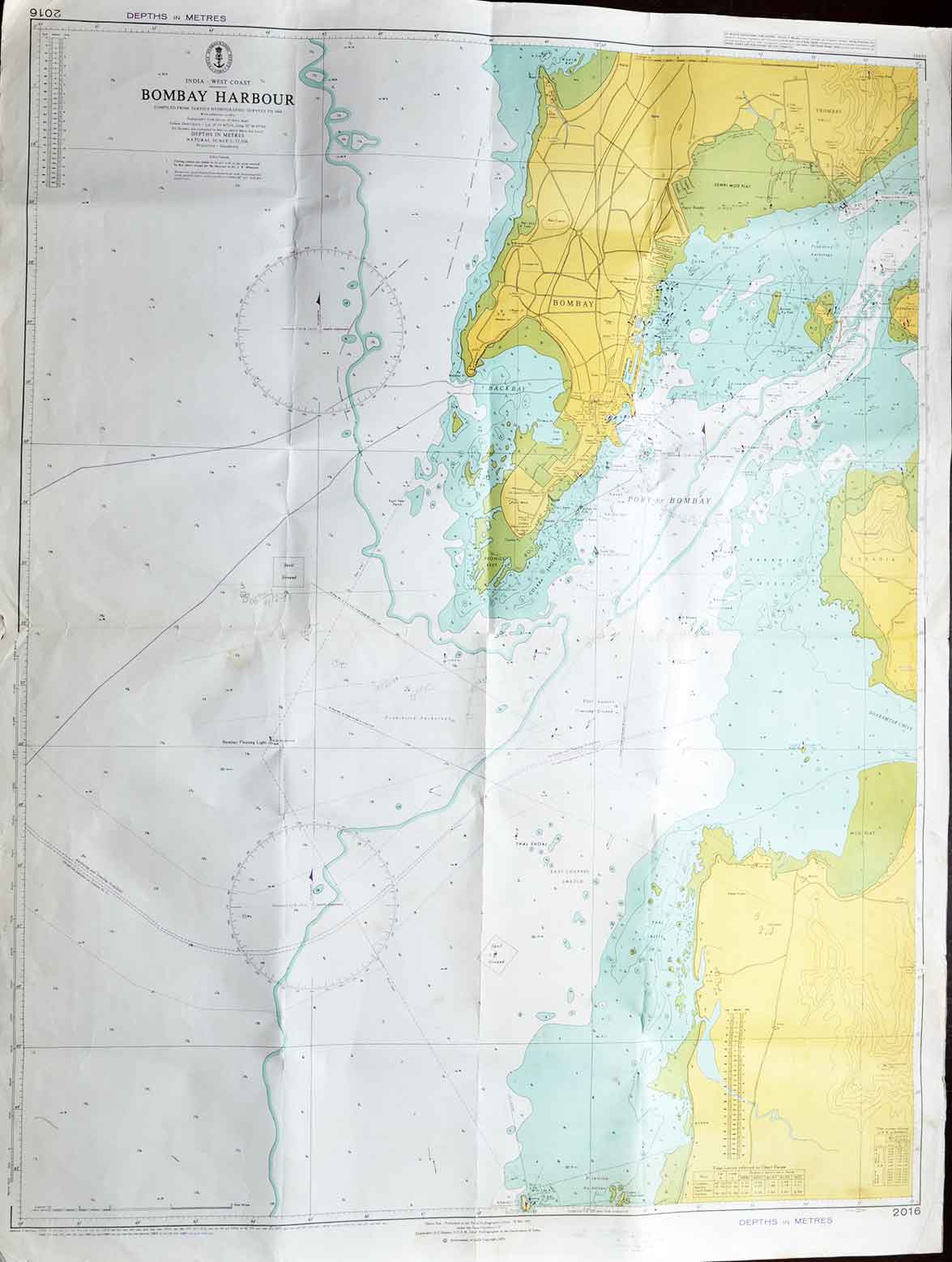
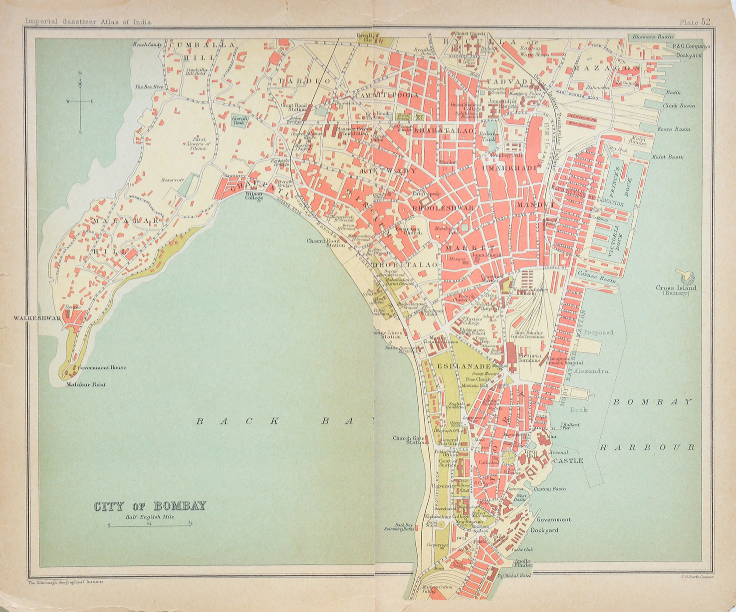
The Islands Of Bombay 1764 Antique Map By Bellin

An antique 1764 Bellins’ Map showing the islands of Bombay (Mumbai). Engraved on handmade paper. A charming and rare 1764 map drawn by the famous French geographer Jacques-Nicolas Bellin (1703-1772).
Although the outline may look strange today, it was the best they could do at the time. Bombay was once a splintered group of seven islands until reclamation took place making it into a single landmass after two and half centuries.
Read more Seven Islands of Mumbai.
British East India Company took possession of the seven islands of Mumbai from the Portuguese in 1668 and built a Fort. The Fort George as it was called had three entrances. These were the Apollo Gate (next to Lion Gate), Church Gate (where Flora Fountain stands today), and Bazaar Gate (across the GPO).
See my posts- Salsette or Mumbai Suburban – Vintage Map 1893
Did you know- the Backbay reclamation scheme began in 1919. Stone and mud were quarried in Kandivali, brought by train to the site, and dumped into the sea.
From the collection- 11 Picture Postcards On Raja Ravi Varma Oil Paintings., The Dutch Capture of Cochin – Antique Plan 1702., Madras Fort St George – Old Print 1840., Bamboo Island & Cubbon Park Bangalore – Old Postcard 1905