

The Dutch Occupied Fort Cochin & City, 1663 Antique Map

Antique 1663 map of the Dutch-occupied Fort Cochin (Kochi) and city. The Dutch captured Fort Cochin from the Portuguese in 1663. The Portuguese had landed in Cochin in 1503 with their rule lasting for 160 years. This map is dated 1663 and was created on handmade paper by Dutch cartographers. Notably, drawing of two fortifications are visible on the map. The larger fortification is that of the original Portuguese Fort and the smaller is the proposed Dutch Fort.
The Dutch had later destroyed the Portuguese fortification and in place built a smaller Dutch-style fort. Historically many succession battles took place to possess the city. The Dutch took control in 1663 and reduced the previous European fortification from its original size to a much smaller size (see map). The British took over the city from the Dutch in 1795 their first task was to demolish the existing fort. Seemingly for more real estate space. Today, not unusually there is not the slightest trace of any of the fortifications.
See Fort Cochin – Antique Map Plan 1761. Also read The Portuguese In Cochin, India.
Did you know- St Francis Church in Kochi built by the Portuguese is India’s first European Church.
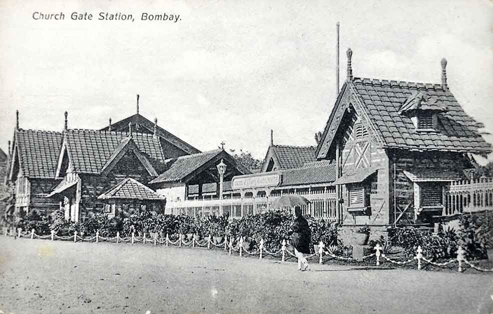
From the collection- 1964 M. Suriyamoorthy Charcoal On Paper Two Women (#4)., Types of Indian Native Character – Old Pictorial Book 1910., Taj Mahal Hotel Bombay -1907 Rare Advertisement., Madras Mowbray’s Road – Old Photo 1902