


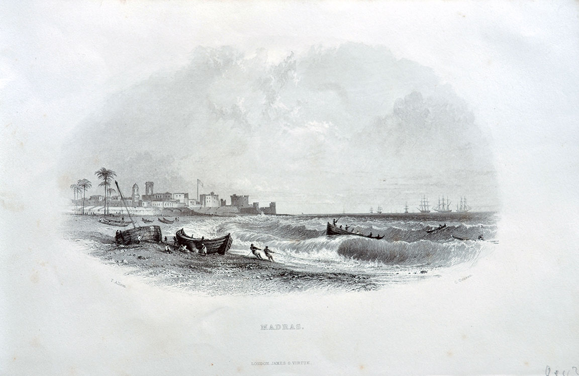
Bombay Fort And Harbour – Old Map/Plan 1754
This print is a plan/map of the Bombay Fort and harbour of 1754. Measures 8.25 x 6 inches. The title is in French “Ile De Bombay, Cote De Malabar Vers 1750” it translates to “Bombay Island, Malabar Coast Around 1750.” I don’t know why it was termed as Malabar coast since the view is of the Fort and harbour area. Malabar coast was part of the present-day Kerala state in ancient times.
Although the actual plan is from 1754, this is a rare page from the 1920s journal of the Bibliotheque Nationale. The British East India Company owned the seven islands of Bombay, now Mumbai. The fortress and its Castle are visible on the right, the St Thomas Church is partially visible at the back. The first Government House of the East India Company was based inside the castle which is also visible.
The town grew around the fort area and the harbor with plots of land distributed to Indian merchants for opening businesses. The plan also shows many merchant ships in the harbour which is a testament to the busy trade and commerce taking place under the East India Company. Since the threats from the French, Mughals, Marathas, and Pirates had diminished greatly.
See my post- And also since the Portuguese had gifted the island of Bombay to the British in 1668 as dowry they too were no threats to the British. This enabled the British to demolish the Fort by 1862 making way for more space. Read more- Mumbai: History of a City.
Did you know- Colaba and Little Colaba, two islands were connected to Mumbai through the Colaba Causeway
From the collection- View Of Bombay or Mumbai – Old Print 1845., Madras Iron Pier – Old Photo 1870., Our Journey Around The World – 1894 Book., 11 Picture Postcards On Raja Ravi Varma Oil Paintings
