

Portuguese Era Canonor or Kannur, Antique Plan 1572

Antique 1572 plan of Portuguese Era Canonor or Kannur. This is a hand-colored plan on handmade paper from 1572, it measures 23 x 15 cm. Just as the Portuguese established a trading post in Cochin and Quilon (Kollam), they did likewise in Kannur too. Which is near the northernmost end of the once known as the Malabar coast. The Malabar region came to be known as Kozhikode, Thrissur, Kannur, etc after independence.
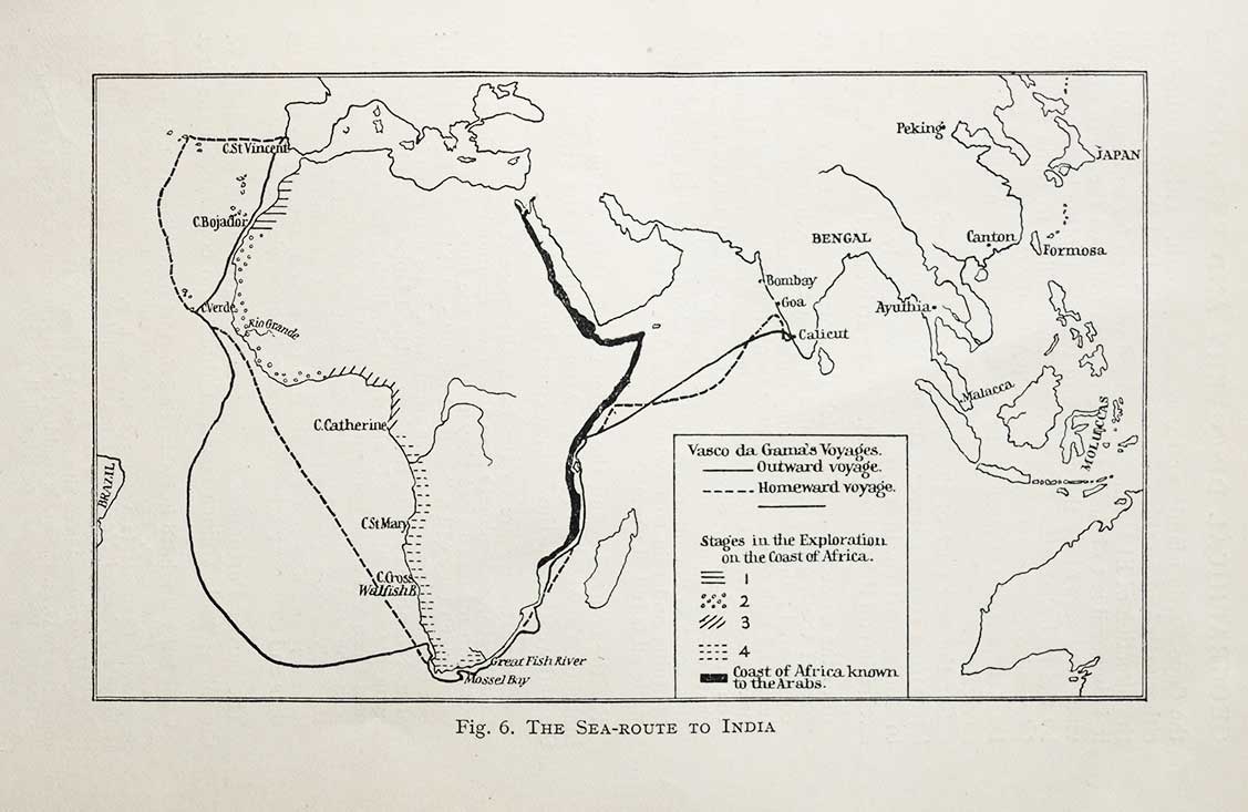
Calicut in 1498 was the first place in India the Europeans landed by the maritime route. Portuguese explorer Vasco Da Gama who commanded the fleet, stopped at Canonor on his way back to Portugal from Calicut in 1498. A settlement was established, and in 1505 Fort St Angelo was built. The Portuguese rule lasted for nearly 160 years until the surrender to the Dutch in 1663.
The British later took over Kannur by defeating the Dutch. Spice was the primary motive for the skirmishes and takeovers by the foreign colonizers. Particularly pepper that was considered black gold from ancient times. Teak, rosewood, cardamom, textiles, etc were not far behind in demand by the foreigners. The Phoenicians, Greeks, Romans, and Chinese traders landed on the Malabar Coast for spices, ivory, teak, rosewood and so on.
See posts Hand Colored Map Plan Of Quilon Fort, and Page From Rare 1713 Latin Book on Calicut. Also read History Of Canannore, Kerala, and Cannanore India.
Did you know- Kannur was the British military headquarters on India’s west coast from 1709 to 1887, until they relocated to the Nilgiris.
From the collection- Vintage Raja Ravi Varma “Shivaji” Oleograph Print., St Paul’s Cathedral In British Era Calcutta – Old Photo 1865., Crawford Market Mumbai – Rare Old Print 1874., Vintage Book 1881 – Everyday Life In India.