
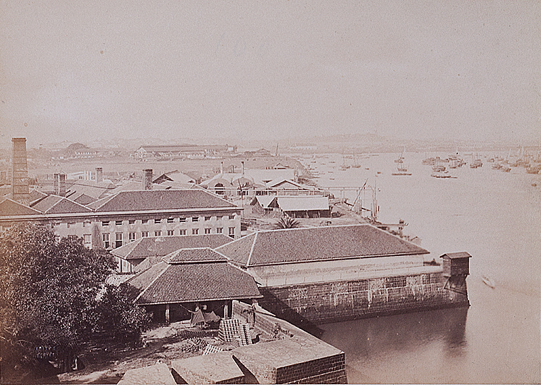
Fort & Harbour Bombay, Old Photo 1861
Old 1861 photograph of Fort and Harbour of Bombay, now Mumbai. A portion of the defensive wall of the fort is visible in the foreground. The vast open space in between the tiled buildings is probably Cotton Green. The city was made up of seven islands when the British East India Company took over.
In 1532, the Portuguese conquered the islands of Bombay and Mahim from the control of Sultan Bahadur Shah. The ruler of the Kingdom of Gujarat. The new Portuguese colonialist rulers were not wise enough to exploit the advantages that Bombay offered. The place remained stagnant under their reign.
In 1661 King Charles II of England received the islands as part of a dowry. For marrying King of Portugal’s sister Catherine of Braganza. King Charles realized it may incur high maintenance and upkeep he leased it to the East India Company. Consequently, East India Company’s headquarters was shifted from Surat to Bombay.
The British built a fortification on the once settlement of the Portuguese. From around the 1740’s a long and tedious process of land reclamation began which took around one and a half centuries to complete a major part. Transforming the seven islands into a single landmass. Sir Bartle Frere took over as the governor of Bombay in 1862, and from then the city grew exponentially. Click on the photo for better view
See my post- Bombay Fort And Harbour – Old Map/Plan 1754. Read also 350 years ago, Bombay was given to the East India Company.
Did you know- the fort wall was built around the present Fort area in 1715 by Governor Charles Boone, in order to protect the city against the French, Mughals, Marathas, and pirate invasions.
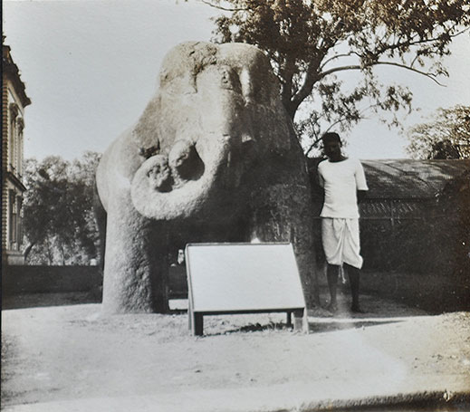
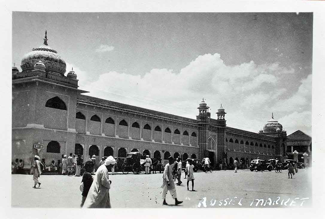
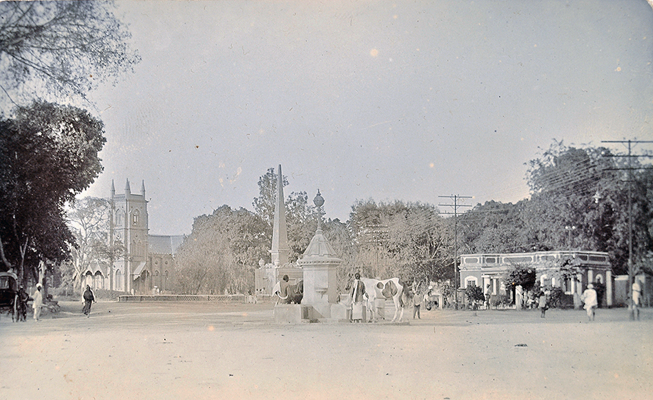
From the collection- Drawing Hiding The Taj Mahal WW2., Old Malabar Hotel In Cochin Ernakulam- 5 Old Photos 1948., General Post Office Bangalore – Old 1900 Postcard.
