


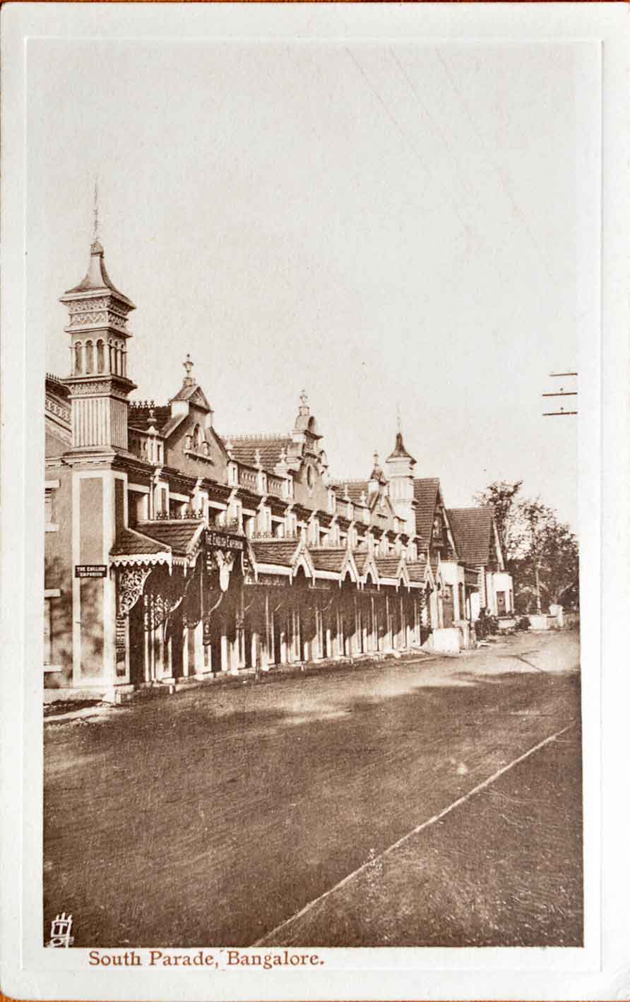
Cavalry Road In Bangalore, Old Postcard 1900
An old 1900 photo postcard of Cavalry Road in Bangalore, now Bengaluru. Why it is titled “St John’s Hill Road” we are not sure. Although its official name seen in various other records show it as Cavalry Road. Perhaps the previous name may have been St John’s, or maybe a typo, we will not know. It is in the Cantonment part of the city. Deriving its name from the military classifications. Just like South Parade Road, Brigade, Infantry, Artillery Roads, etc. Now known as Kamaraj Road, it has changed noticeably from its British era years.
Read more CAVALRY ROAD-BANKING ON THE ARMY.
Bangalore founded by Kempe Gowda I a feudal ruler under the Vijayanagara Empire in 1537. Kempe Gowda built a mud fort, that would later be taken over by Hyder Ali in 1761. The Bangalore Fort as it is commonly called was strengthened by Hyder Ali, and further improved and enlarged by his son Tipu Sultan, after Hyder Ali’s death. Click on the photo for better view.
See post- British Girls Cycling In Commercial Street – Old Postcard 1904., and, Rampart of Tipu Sultan’s Bangalore Fort – Old Postcard 1900.
Did you know- Bengaluru located on the Deccan Plateau is at an elevation of 3020 feet. Making the city possibly on the highest elevation in India.
From the collection-Raja Ravi Varma’s “Laxmi” Oleograph c1910., German Map Bombay With Waffen SS Stamp & Seal., Map Of Travancore Backwaters & Coast c1866., Bombing of Madras By Emden WW1 – Old Print 1914.
