


Rock Fort & Town Trichinopoly, 2 Old Postcards 1900
Two old 1900 postcards of the Rock Fort and the town of Trichnipoly. These two views show the beautiful rock fort and town of Trichinopoly, now Tiruchirappalli. The city is located 322 km south of Chennai, and 374 north of Kanyakumari. And is just 60 km west of Thanjavur (formerly Tanjore). Its history is interwoven with the Pallavas, Cholas, Nayakas, and finally the British. Who shortened its name to Trichy.
Dominating the city is the massive Rock Fort, perched amazingly on a rocky outcrop. That rises 272 ft high above the flat plains. This impregnable fort was constructed by the Nayakas of neighbouring Madurai. Who made Trichinopoly their capital in the 16th and 17th centuries. Further up on the summit is a small Ganesha Temple. From where there are spectacular views of the city and the famous Srirangam Temple.
At the base of the rock is the cave temples. The lower one dates to the 8th century, and the upper one to the reign of the great Pallava ruler, Mahendra Varman. Much of the present town dates to the 18th and 19th centuries, when the British constructed the cantonment and numerous civic buildings and churches. Many of these buildings are located around the large Teppakulam Tank (see postcard) at the base of the fort. A busy area surrounded by fruit, vegetable, and flower markets today. Click on the image for better view.
Did you know – the rocky outcrop is believed to be much older than the Himalayas.
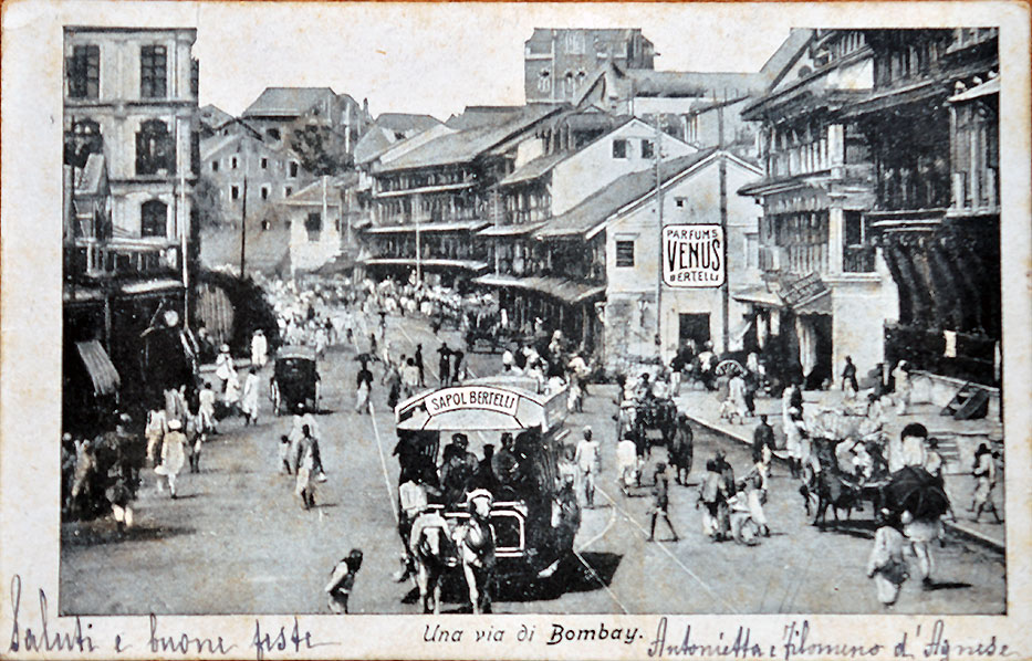
From the collection – India Raj Elephant Battling Lion Watercol. Sketch, 1837., European Girl In British India Era, Photo 1890., Chinese Boats On The Malabar Coast – Old Print 1746., Early Vintage Cars In Bombay – 4 Old Postcards.
The images are of the actual items from my collection. And Not a photocopy, pirated, reproduced, stock photos, or taken from other sources.
